Backpacking in California - June 2006, Part 3
 (continued from "Backpacking in California - June 2006, Part 2")
We continued our hike to Taft Point and the Fissures. I didn't know what to expect. In fact, due to all the downed trees and wet areas, we had to divert from the trail a bit and we missed getting back on it. We saw an opening of granite so we walked out onto that so as not to trample any more vegetation. The opening sloped down for a great distance. We picked up the trail again in the opening and followed it to the Fissures. WOW! If you're afraid of heights (especially visually-observing that you are several thousand feet up looking over the edge of a chasm) then this is not the place for you to hang out! The Fissures are a split between the granite that allows you to look down to the Valley floor below. There are several boulders wedged in the narrow breaks - left over from the last Ice Age glaciers. (Notice the tiny person at the edge of Taft Point).
Taft Point is equally impressive. There is one rail next to a USGS survey marker. That railing is the only thing between you and the precipice below. I didn't trust my equilibrium so I got on my belly and inched up to the edge for a gander over. Kinda made me queasy.
[When Yosemite was a young national park, Red Firs were lit afire and pushed over the edge (I believe from Glacier Point) to the valley below in a nightly tourist attraction called Firefall. In addition to that spectacle not being the charge of the National Park Service, it created traffic jams, damaged plants and the meadows below, and probably started wildfires. Can you believe that this practice didn't end until 1968!]
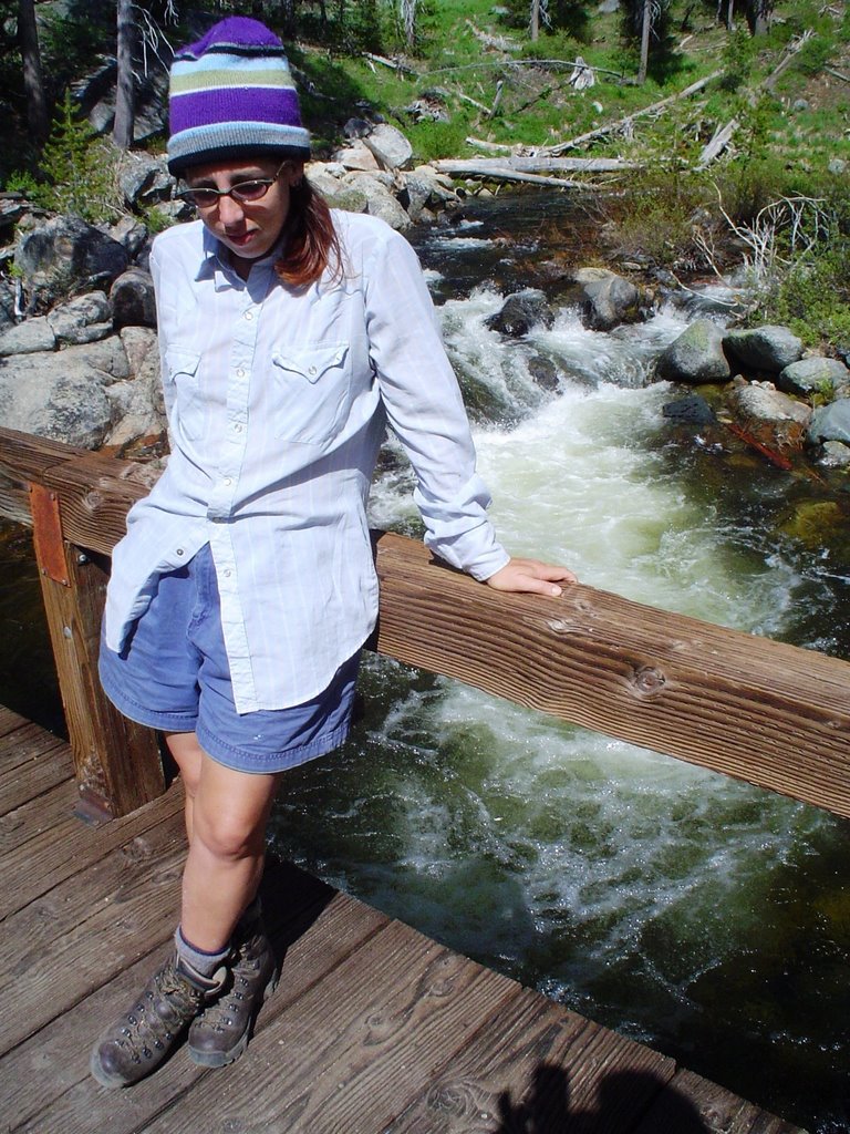
After looking mortality in the face, we hit the trail again. We only had a few more miles to go to get into the wilderness area; to the place where we would set up camp. The trail left the wide open area and passed on into dense forest. Then finally we came to Bridalveil Creek. There was a nicely-crafted bridge that crossed over the raging snowmelt water. Photo op!

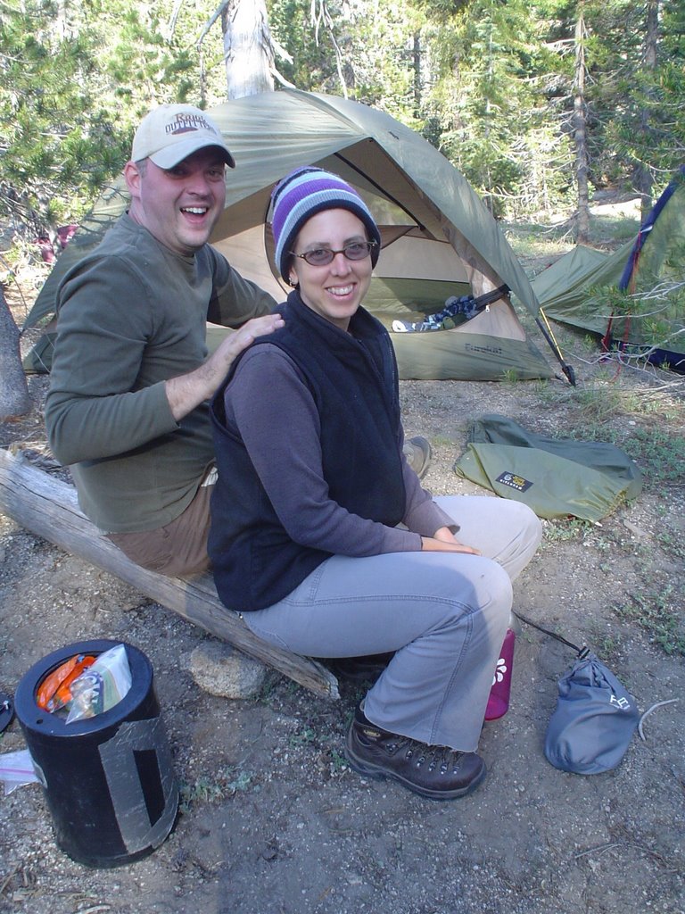
We found a site that was already established and was about 300 feet from the creek. We used downed logs to walk on so as to minimize the trampling upon the fragile plants. (It's a hard life for the plants at that elevation...and they have such a short growing season...).
We set up camp, relaxed and filtered some water from the creek. As dusk approached, the temperatures fell significantly so we built a small campfire. We made dinner (freeze-dried dinner!) and joked around until late at night.
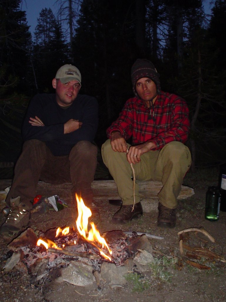 We were halfway waiting for a bear to come and take one of us away. We placed our bear canisters far away from camp but I'm sure if a bear were around, it probably would have visited us.
Instead of making a 30-mile loop like we planned, we backtracked. It's a good thing that we had a hike in with clear skies because the hike out was shrouded in clouds, mist, fog.

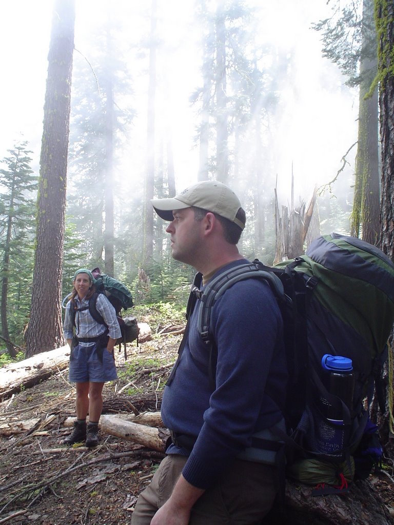
So we missed the views, but walking through the clouds was neat. It made all the greens look really bright. We felt like elves walking through an enchanted forest...

We hiked back to Taft Point and dropped Scott off there with the backpacks. There were a few breaks in the clouds so we could see a little bit off in the distance.  But then the clouds would rush back up and envelope us. Vince and I hiked several more miles back to the car. We were practically running because we were so light without our packs. We drove the car to a different trailhead and hiked back to Taft Point. When we returned to pick up Scott, he was shivering because it had gotten so cold in the cloud and mist. I couldn't help but laugh at him. We were sweating!
 But then the clouds would rush back up and envelope us. Vince and I hiked several more miles back to the car. We were practically running because we were so light without our packs. We drove the car to a different trailhead and hiked back to Taft Point. When we returned to pick up Scott, he was shivering because it had gotten so cold in the cloud and mist. I couldn't help but laugh at him. We were sweating!
(continued on "Backpacking in California - June 2006, Part 4")
posted by Michelle @ 9:12 AM
0 comments
![]()

0 Comments:
Post a Comment
<< Home